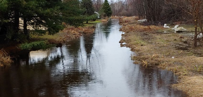
Updated maps involving areas vulnerable to flooding in the region are now available.
The North Bay-Mattawa Conservation Authority (NBMCA) says a comprehensive update has been completed, in collaboration with the Province of Ontario, the City of North Bay, and the Municipality of Callander.
Officials say the completed mapping includes Chippewa Creek, Parks Creek, and Jessup’s Creek in the city, and Lansdowne Creek in Callander.
They say updated maps provide detailed information about areas vulnerable to flooding during significant storm events and will support informed decision-making for future development and land-use planning.
“Floodplain mapping is an important tool in managing flood risk and guiding development in flood hazard areas,” said Githan Kattera, Regulations Officer/Water Resources Coordinator at NBMCA. “These maps are developed using models for different storms, including the 100-year event and the Timmins Storm, which is our Regional Storm standard. These maps are a tool to help keep people safe and reduce flood-related damages.”
The final maps and technical reports are now available at: https://nbmca.ca/about-us/floodplain-mapping/


