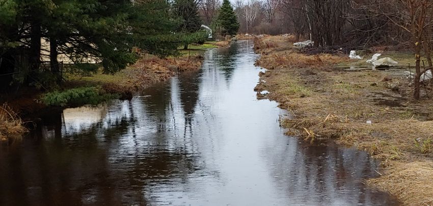
The North Bay-Mattawa Conservation Authority is getting ready to update its floodplain for Parks Creek and Jessups Creek.
Sue Buckle the NBMCA’s Manager, Communications and Outreach, says Request for Proposals have gone out to identify consultants that can do the work.
The deadline for those RFPs is August 6th.
Buckle says it’s essential that the NBMCA map out the floodplains of its waterways every so often to identify areas that may be susceptible to flooding.
“Our primary goal is to protect people and property from flooding and how we do that is having accurate information,” she said.
“So if someone comes in for a permit we look at the proposal. We identify whether they’re in a floodplain, a floodway or if they’re clear from having any damage from the water levels rising because of a large event or storm event or rain event. We don’t want people building properties or doing developments in a floodplain because that puts them at risk and it puts their properties at risk.”
The last mapping took place during the 1980s.
Buckle says the information the mapping produces isn’t only used by the NBMCA.
“It’s also used by the municipalities to prepare Official Plans and zoning bylaws that help guide future development,” Buckle said.
“The information also assists us in regulating development.”
Buckle says the mapping lets it advise municipalities about whether they are developing in a safe area so people and infrastructure are not affected by flooding.
Buckle says since the last floodplain mapping three decades ago, technology has changed which should produce better information.
“The newer technology will help the NBMCA produce more accurate floodplain mapping that wasn’t possible three decades ago,” she said.
Whoever ends up carrying out the floodplain mapping will have to meet a March 2020 deadline completion date.
Buckle says the public will have a chance to review the mapping results next March during an open house.
There is more information at https://www.nbmca.ca regarding the floodplain mapping process.


